Archive for October, 2010

winter into the forecast!!!!

October 30, 2010

the warning was clear in the winter forecast a potential early start to winter then the follow-up indicator for a favorable cold& stormy teleconnection pattern for the first of NOV ( -NAO, +PNA, -AO, -EPO), technically neutral EPO. This teleconnection pattern will only last for a few days late next week but it’s enough to get flakes into the forecast. This teleconnection pattern should be the rule from roughly Nov 18-28 as well, also you can a look at the GFS past 300 hrs and notice the consistent run to run build up of very cold air to our north. All of that means winter still looks to get off to that early start but it is still a while before this is a certainty.

1. Tonight with clear skies and low RH values once gain radational cooling should allow us to drop to around 40. Sunday and Monday will be sunny again with light winds and highs in the mid to upper 60’s again after starting in the upper 30’s to mid 40’s.

2.  by Tuesday a low pressure system forms along the gulf coast while a high pressure sets-up in the PA  area. In wintertime this is a good set-up for drainage of low level cold air with east/northeast winds into the region which could lead to some freezing rain in the eastern valleys. As looks like now  the deeper moisture will stay to our south with only an increase in clouds with the chance for scattered rain showers with lows in the mid to upper 30’s and highs in the low to mid 50’s Tuesday through Thursday. However lows may still be close to freezing Wednesday morning which is worth watching for the set-up above, any precip will be very light as this low forms along the east coast.

3.  The low moving up the east coast brings down another disturbance with a nice shot of cold air. The flow should become northerly to northwesterly Thursday night wiht lows in the lower to mid 30’s This disturbance with the aid of some moisture off the great lakes may very well generate some snow flurries across the region early Friday morning, the exact wind direction will determine those chances. The GFS has more of a northerly flow which puts most of the region in the flurrie chance while the ECMWF focuses a nw upslope flow snow shower event (Pikeville region). Highs should be in the 40’s Friday changing things back to sprinkles. We may change back to flurries Friday night with lows in the upper 20’s.

more squall line recap

October 28, 2010

we have several new tornado reports along the line including one only a few miles east of where i am in BWG.

http://www.crh.noaa.gov/lmk/?n=october_26_2010_storms

lows tonight should be in the 40’s with 60’s for highs Thursday, widespread frosts are likely thursday and friday nights.

recap of squall line event

October 26, 2010

today’s squall line even with very little instability was severe with tornadoes why?

– the amount of shear present both rotational and directional was able to overcome the lack of instability

the squall line moved in faster than expected why?

– the deeping low pressure over the great lakes to historic levels allowed for a faster moving squall line.  for more on the 956 mb pressure http://www.crh.noaa.gov/news/display_cmsstory.php?wfo=lmk&storyid=59036&source=0

warnings and your thoughts were rather limited when the storms moved through my area why?

– I was in shelter myself for almost an hour today with the squall line racing across the state, also my duties with the local spotter organization here in bowling green along with classes and obligations at WKU.

tomorrow will be windy, not as windy and warm once again with highs near 70 after morning lows in the 50’s.

Squall line: LIVE COVERAGE

October 26, 2010

a squall line of thunderstorms has formed as expected over western Kentucky.

radar

Central Great Lakes sector loop

as expected widespread severe thunderstorm warnings are in effect along the line for the wind damage threat along with a few isolated tornadic cells. There is very little instability today but the amount of shear these storms have to work with is very high likely continuing the A severe threat as the line moves east today across the region. timing of the line is a little faster than I had outlined yesterday. A tornado watch will be issued soon. expect a widespread high wind event ahead and with these storms thus the moderate to high risk for severe weather over the region.

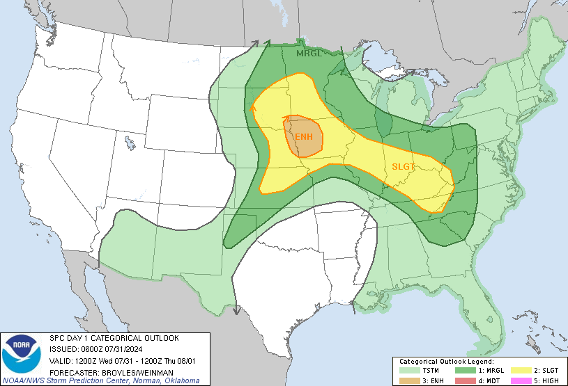
SPC Day1 1200Z Outlook Categorical

I have classes and duties with the STN here in Bowling Green which may prevent ideal coverage today. However I’ll do my best to get the warnings and my thoughts out there. buckle up folks today is going to be a long day.

Squall line tommorow

October 25, 2010

A line of thunderstorms is still expected to move east across the region tommorow with gusty winds along and well out ahead of the line. isolated tornadoes are also possibile. This will likely be a widepread high wind event thus the SPC has upgraded our region to a moderate risk for severe storms.

Timing of line

1-65  1pm ct/ 2pm et

1-75  3pm ct/ 4pm et

jackson 5 pm et

ashland/ pikeville 6:30 pm et

see below for more.