my skeptical arguement yesturday had a thick overcast hindering any severe weather today, which has been right through noon but take a look at the current sat images with clearing to our west.

clearing= more instabilty. there is also cold air aloft in place capable of producing large hail in storms in addtion i think the storms will orgainze into a squall line later today increasing the wind threat and with us being in favored zone just south of the warm front and east of the cold front wind fields will have some rotation as well meaning an isolated tornado is not out of the question.
current radar

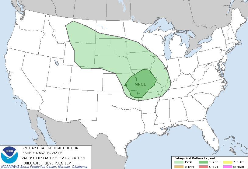
spc outlook
time to take the moderate risk north into southern ky,

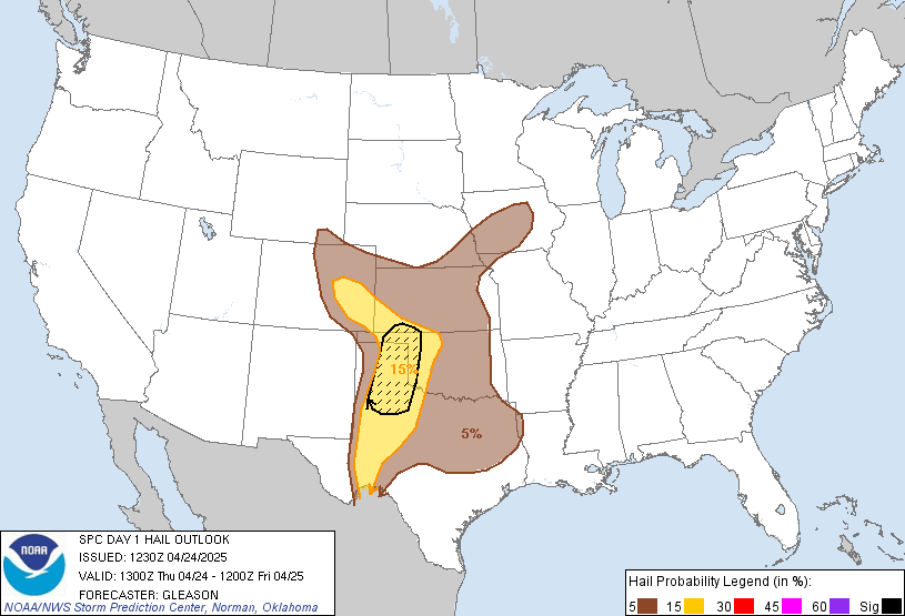
large hail threat

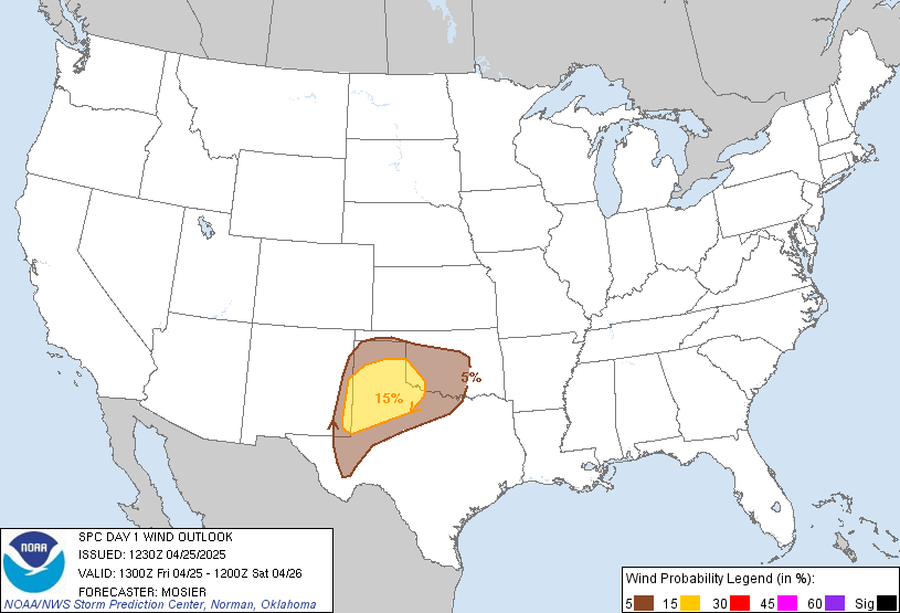
wind threat

from the radar storms are already moving into western yk and tenn these will continue moving ene this afternoon likely strengthining a tad with numerous reports of severe hail and some high wind impacts as they cross southern ky, more of a supercell threat. futther north across the lexington and morehead areas the activity will extend further north during the day with a line of thunderstorms coupled with gusty winds and hail will pass through late today.
nam radar
2pm


nam 8 pm above.
be on the lookout for a new tornado watch around 1 or so for the rest of southern ky possibily extending into eastern ky and the bluegrass. be prepared to seek shelter if a tornado warning is issued for your county and if a severe storm strikes try to move your car and other items safely away from large hail and severe winds.
current watches/warnings

April 10, 2009 at 1:57 pm |
several warnings out there severe thunderstorm around morehead and london another round of storms heading into lexington metro as well. more detailed update at 4.